In late May 2024, Helle solo hiked the transnational trail Peaks of the Balkans. Spanning 192 kilometers with a total ascend of 11,600 meters in 10 stages, the trek was not just a physical challenge, but also a personal quest for peace and healing after a tumultuous couple of years with T’s illness.
I knew from the bottom of my heart that I needed to reconnect with nature and therefore planned to wild camp and be self-sufficient for the first 8 days. The trail weaves through the stunning Denarian Alps of Albania, Kosovo, and Montenegro crossing the borders several times. I had never done a solo multi-day hike before, but it was of no concern to me as I hold so much hiking and wildlife experience.
Day 1 – Theth to halfway up Prosllopit pass
18 km hiking plus 6 km transfer by car in Valbona Valley. 1800 m ascend. 10 hours.
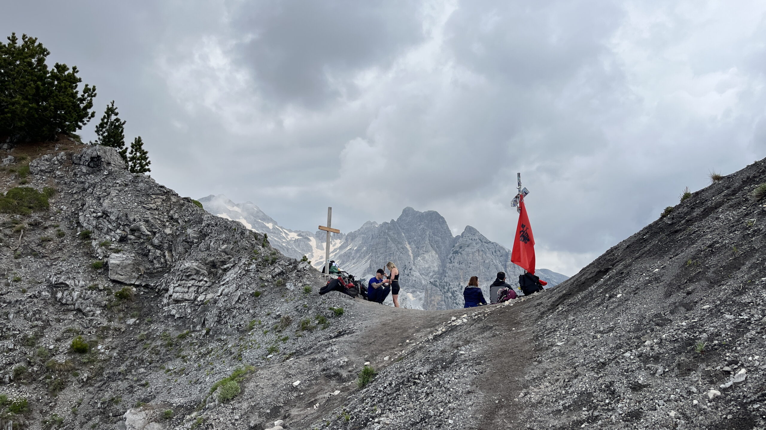
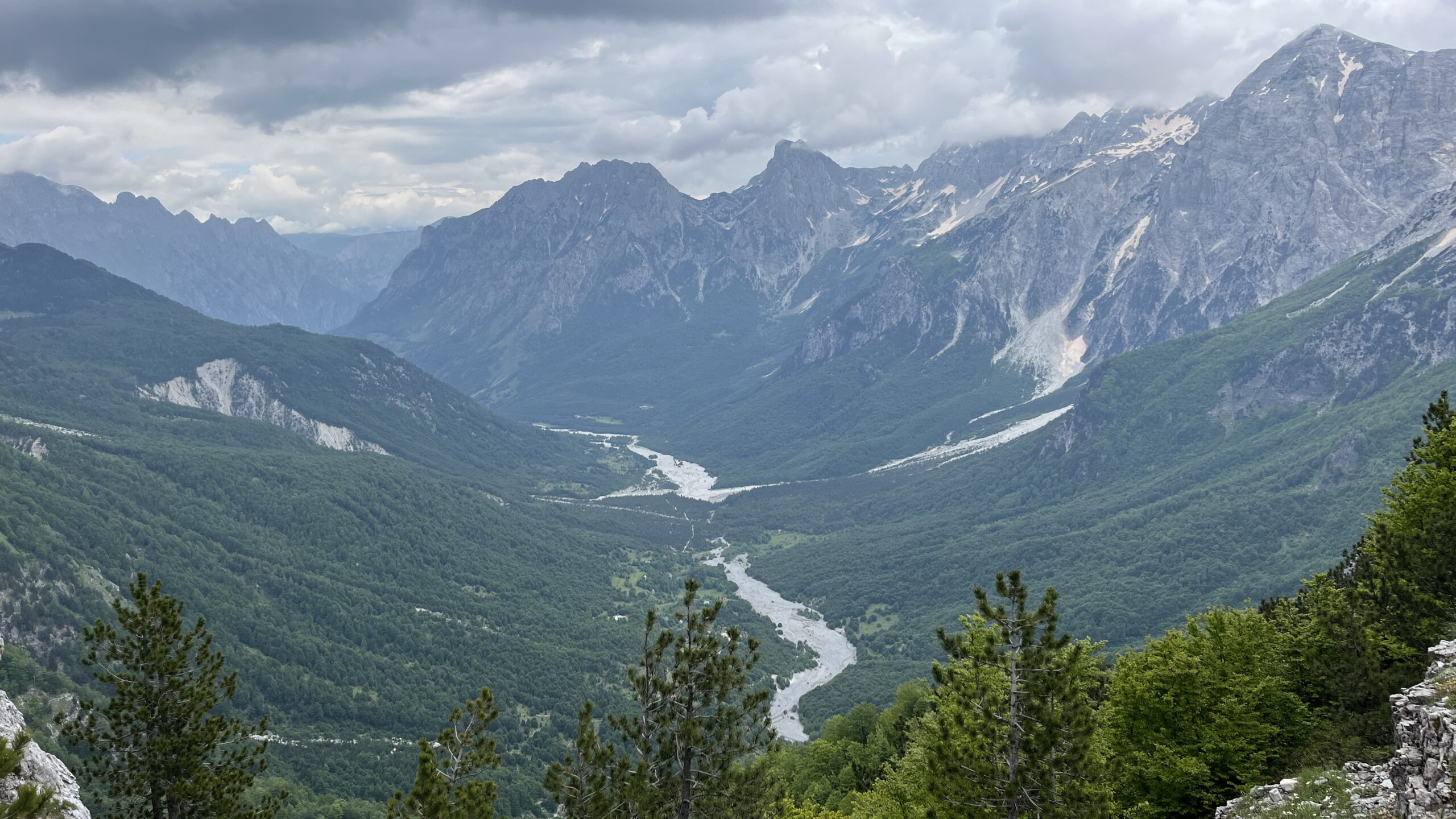
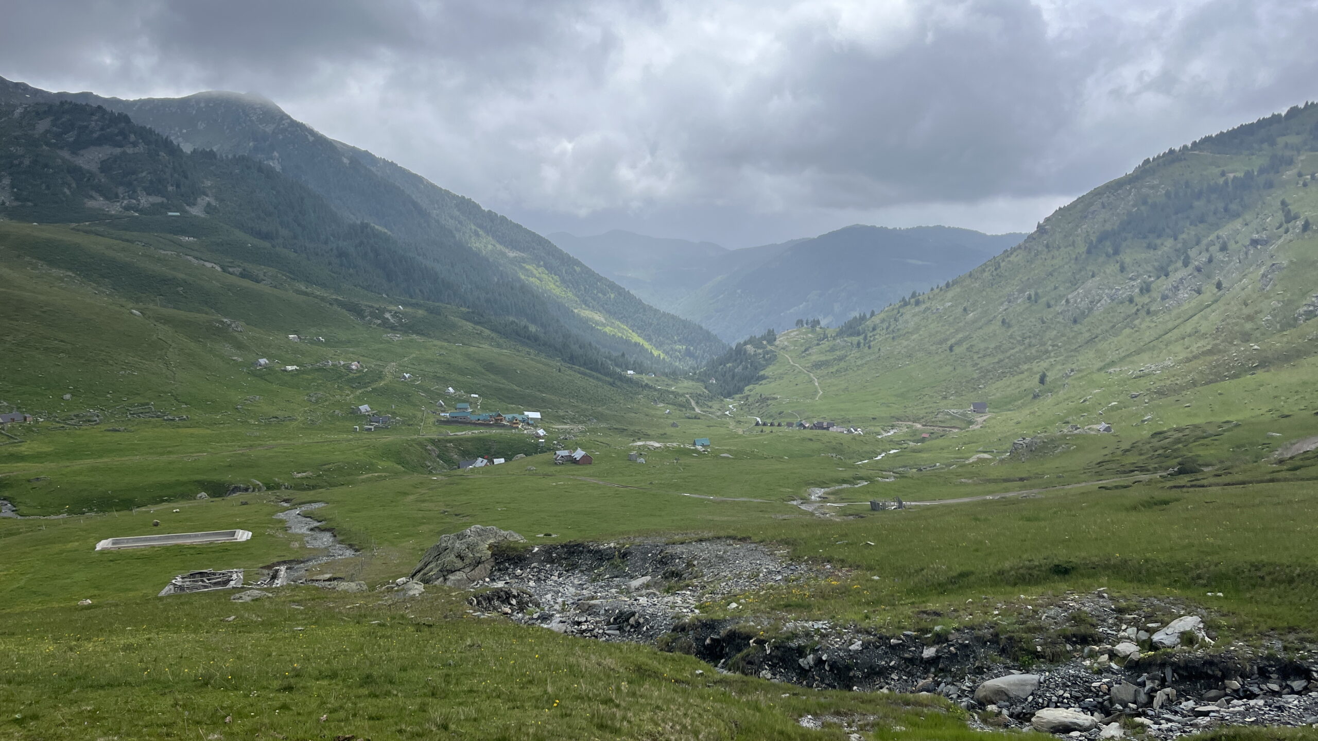
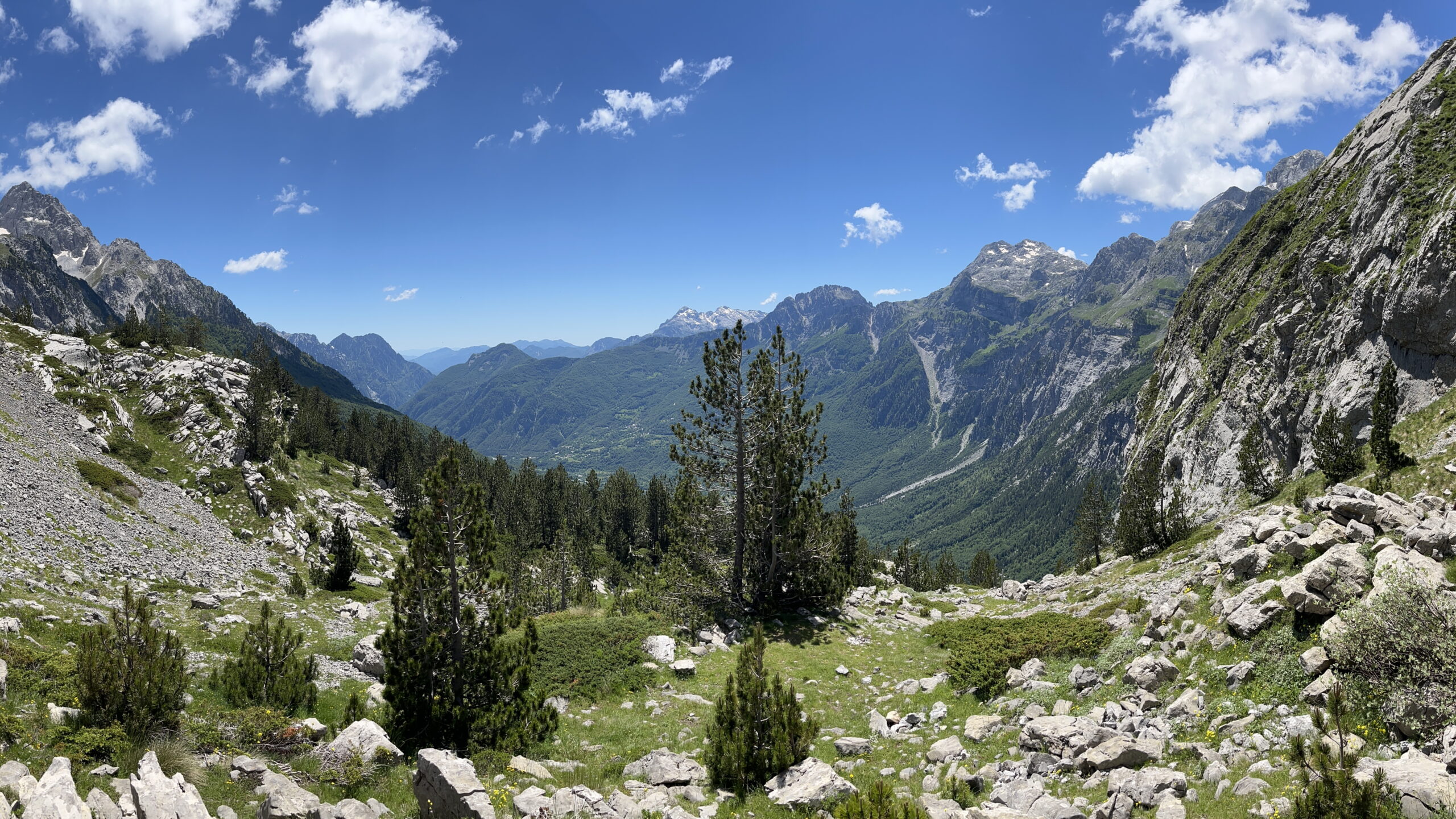
After going over my gear, ensuring everything was in place, I was finally ready to leave Theth at 9.30. I was filled with excitement and gratitude for having this opportunity of spending 10 days in the mountains on my own. It was a steep 1000 m vertical climb up to Valbona Pass in 1800 mas. There were many people on the trail, as it is the most popular stage on the entire hike. I reached the pass at lunch and enjoyed the view of Valbona Valley and the surrounding mountains.
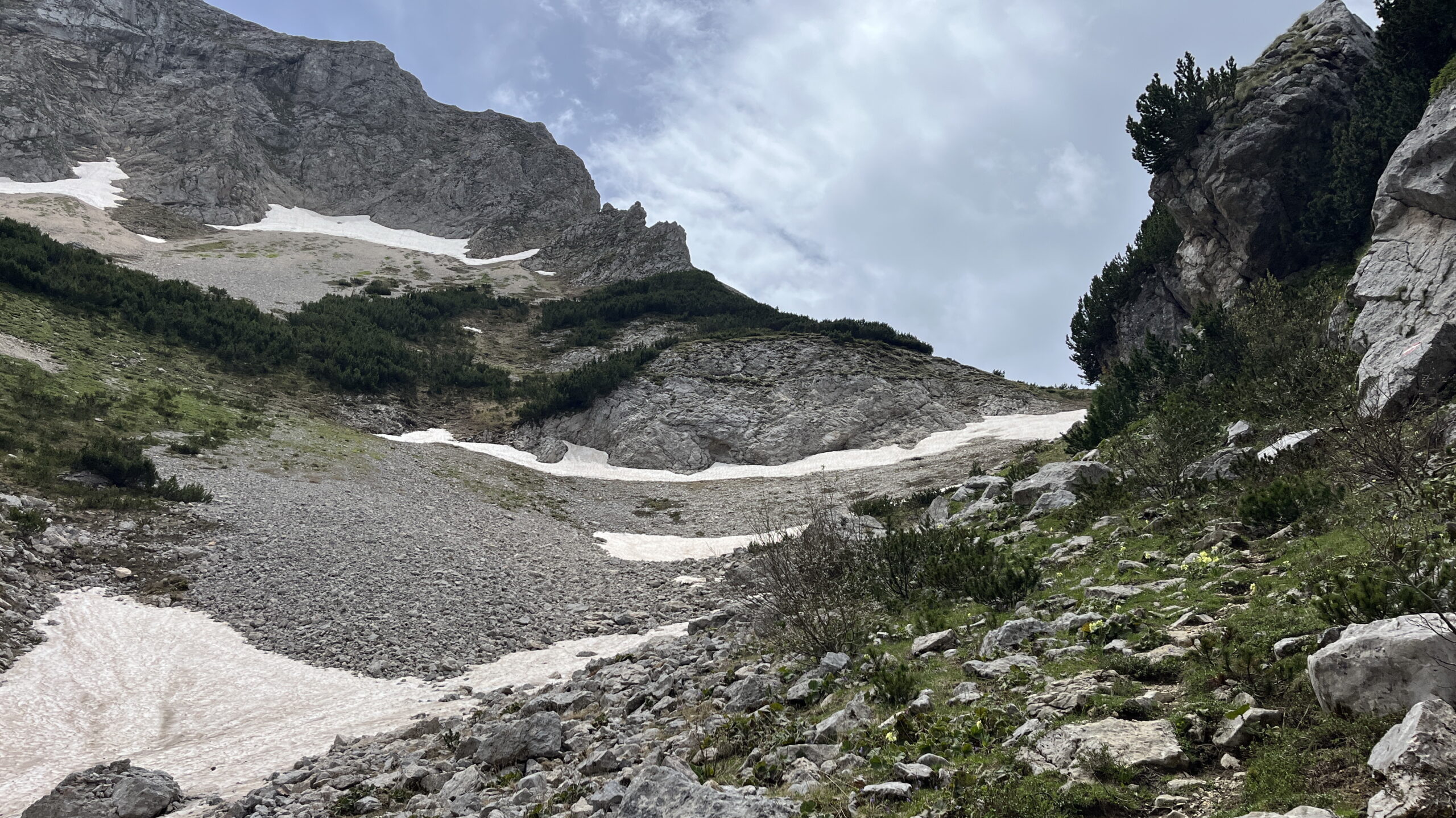
2024 was a low snow year and there was no snow in late May. Last year two female hikes died in an avalanche on the Valbona side of the pass, and I passed the memorial signs on the way down reminding me of how important it is to know your own limits.
It was a steep descend, and I soon reached the bottom of the valley where guesthouses were plentiful. I started to look for a spot for my tent, but instead a minibus stopped, and they asked if I wanted a lift. It was a few km to the asphalt road, and I decided to take the ride and instead find a tent spot on my way up from Valbona Valley. The ride took me app. 6 km up the valley and I soon found myself on another steep ascend towards Prospolitt Pass.
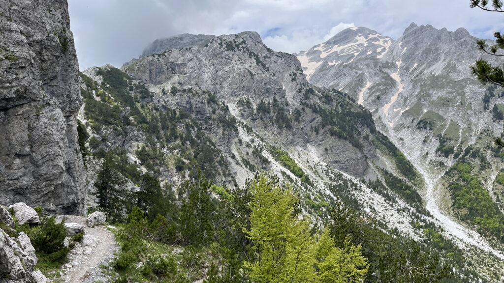
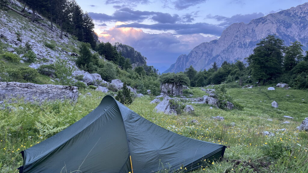
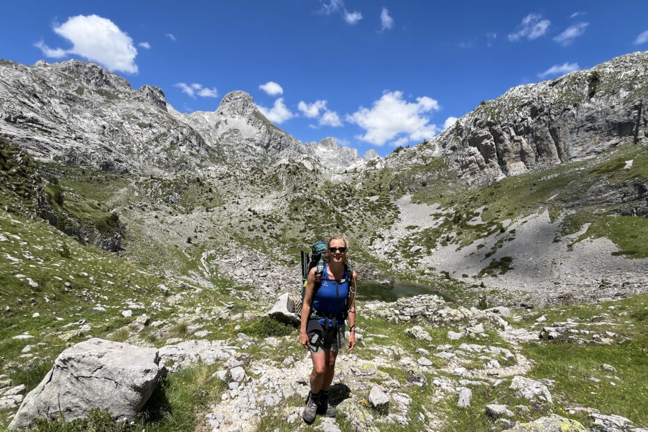
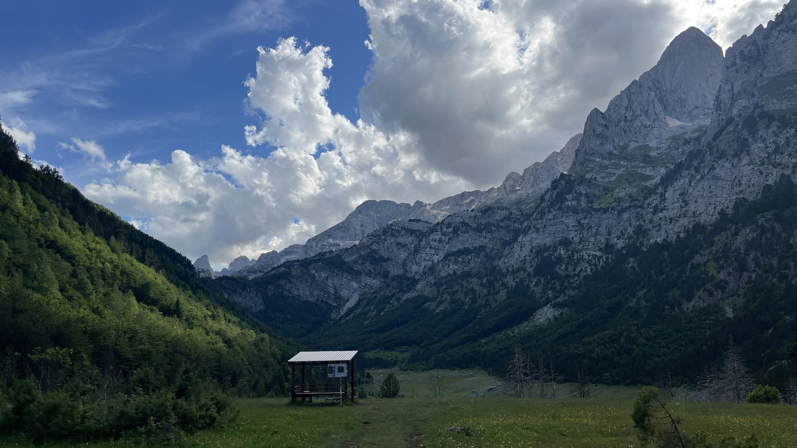
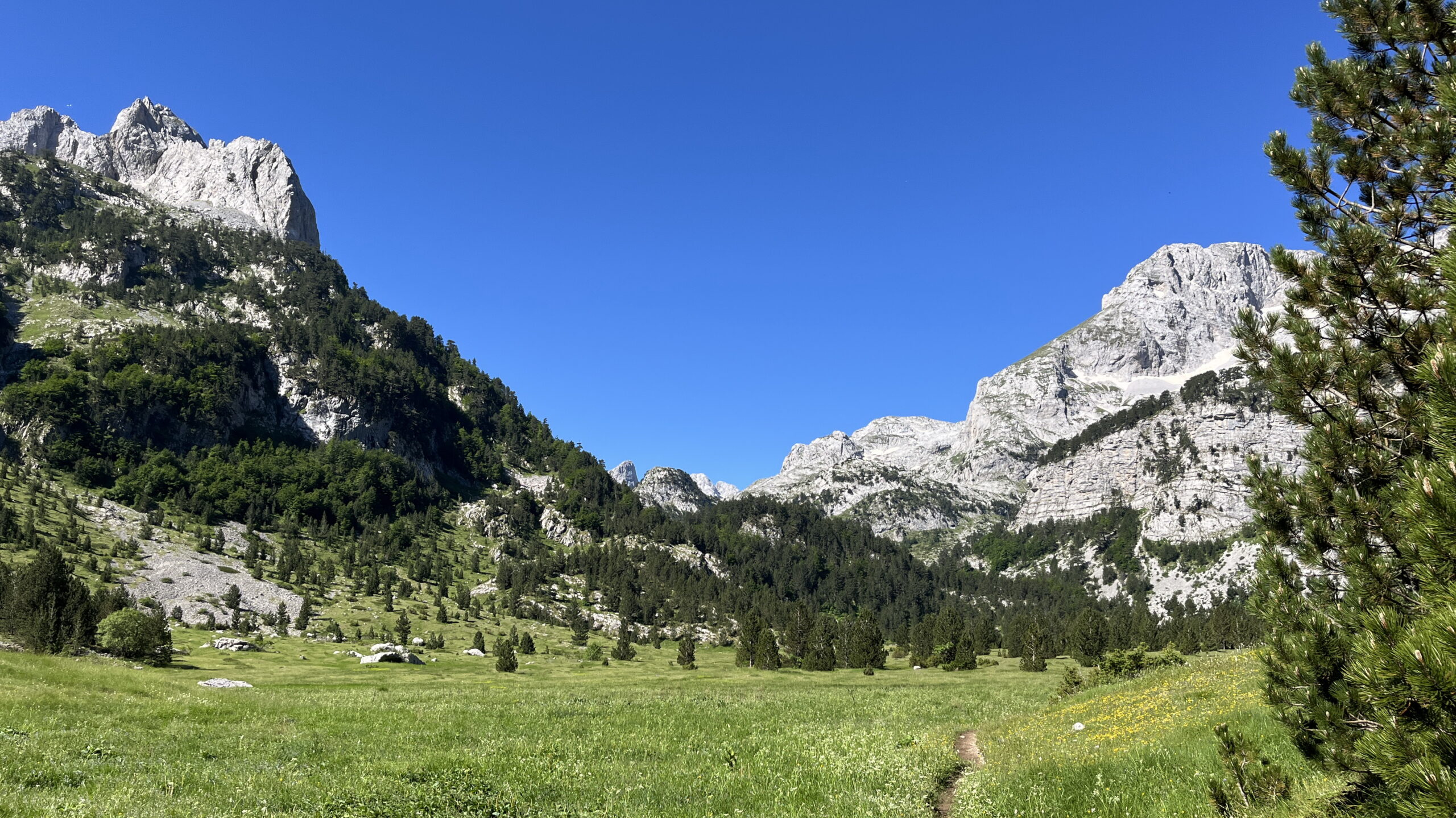
I had hoped to find a good tent spot not far from the valley, but the mountains were steep. I ended up walking 2 hours and 600 vertical meters before I arrived at a meadow, where I could finally pitch my tent – just before sunset. I had the most beautiful view of the mountains and after dinner I got straight to sleep with my aching legs. 18 km and 1800 meters of ascend – what a start!
Day 2 – Halfway up Prospolitt Pass to Vranica Pass
18 km hiking, 1050 m ascend in 10 1/2 hours.
I woke up at sunrise at 5 after a fairly cold night. There were two other tents at the meadow where I camped, and they apparently started with sunrise as they were climbing the nearby peak Zla Kolata (2535). I was still sore in my entire body and got back to sleep for another hour.
I was ready to leave camp at 7. The weather was beautiful with clear blue skies. Due to the narrow mountains, I could only see the sun on the mountain tops, and it wasn’t until 9 I finally got the first rays of the warming sun.
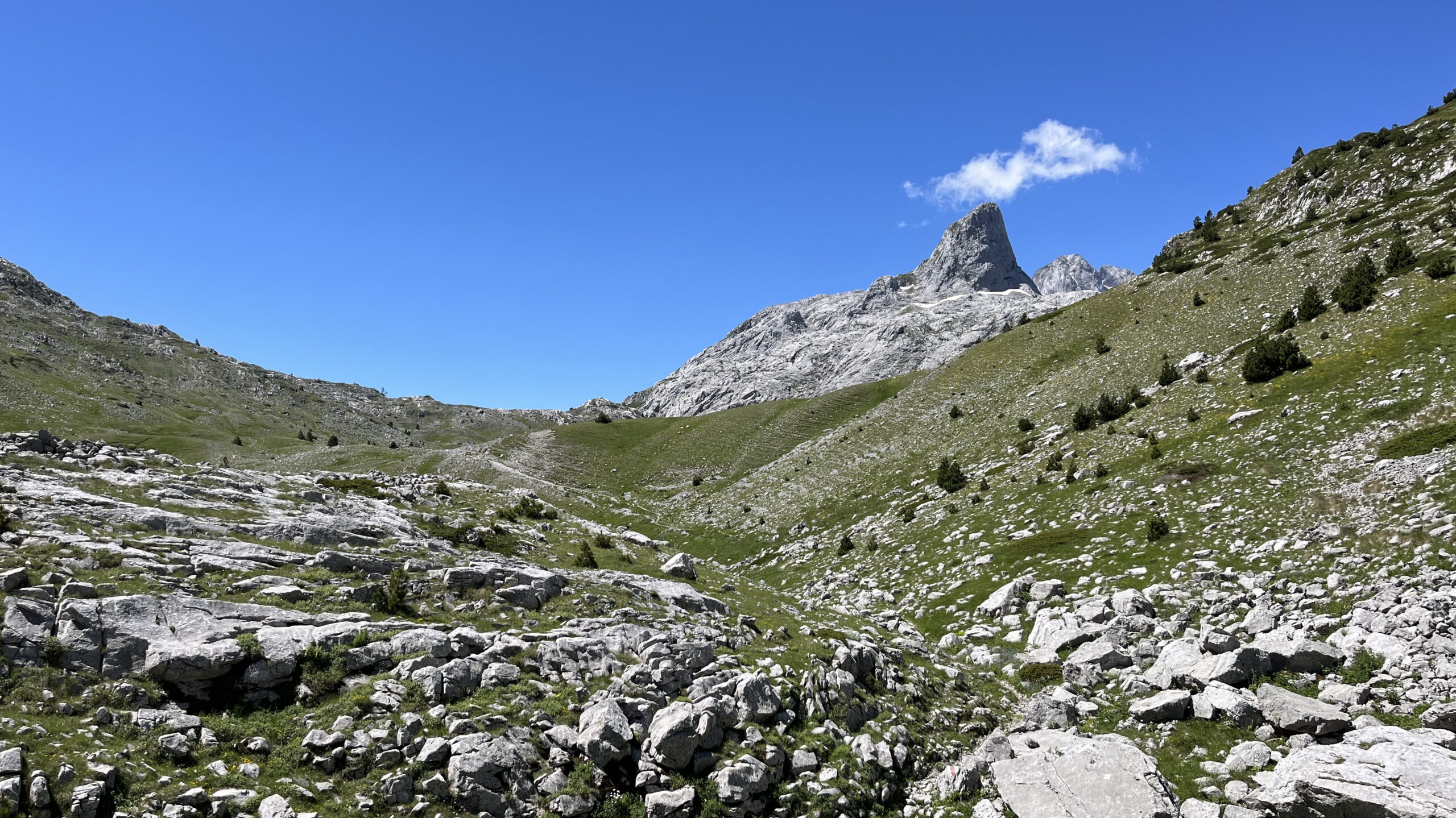
It was an easy ascend to Prospolitt Pass in 1500 mas, and once at the pass the boarder to Montenegro is crossed. The path down was rocky and in places it was necessary to hold on to the rocks, while scrambling down.
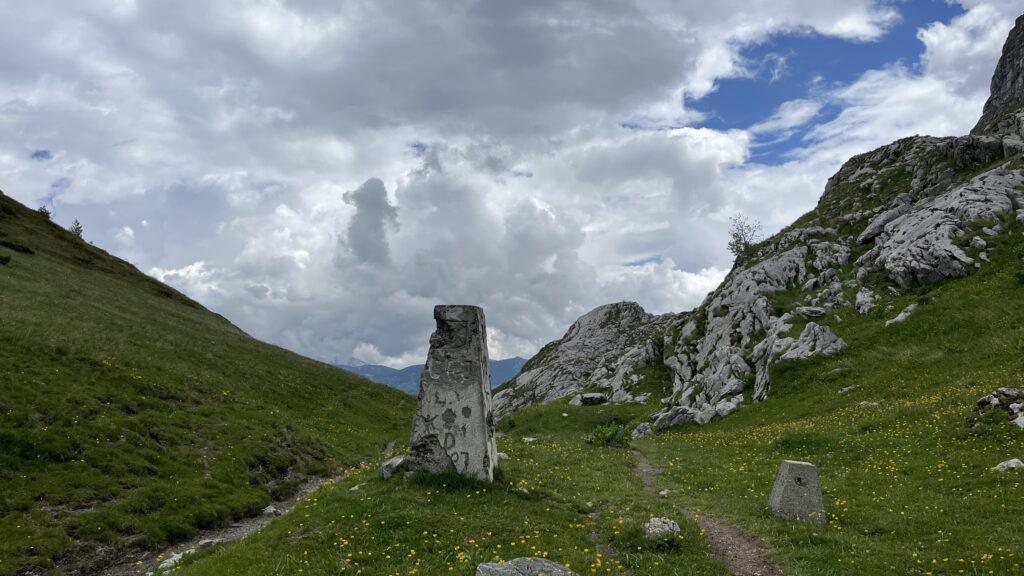
I reached a flat meadow and decided to take a break, where I dried my tent in the sun. I lingered around for almost an hour and more people were coming and dried tents. I was running out of water as I had found no water sources since Valbona Valley the day before.
It was a very short ascend from the meadow to a small pass, where I once again crossed the border, now entering Albania again. Shortly after the pass I finally found a stream, where I also took my daily “shower” – it was very refreshing as the water was ice-cold.
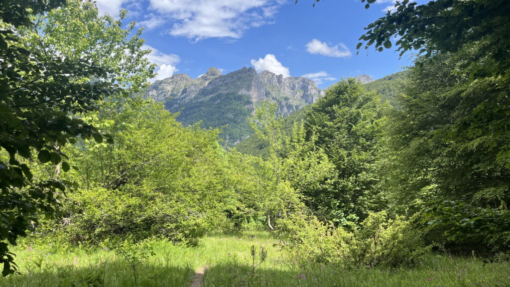
I reached the village of Cerim at 3 pm and continued up to the third pass of the day: Vranica Pass at 1630 mas. I arrived at the pass at 5 pm after 2 hours on gravel roads. There was a perfect spot for my tent, so I sat up camp, soon to find out there were flies everywhere. Soon the mosquitos joined in – I was grateful for my mosquito repellent.
Day 3 – Vranica Pass to Bogiqe Pass
17 km, 1200 m ascend and 8 ½ hours.
I had a lot of condensation in the tent yesterday morning, so I tried to create more airflow through the tent by lifting the tent canvas with small fork branches – but the tent was covered in condensation again this morning. I brough a small lightweight washcloth to wipe up the water – it is an effective way to dry the tent decently.
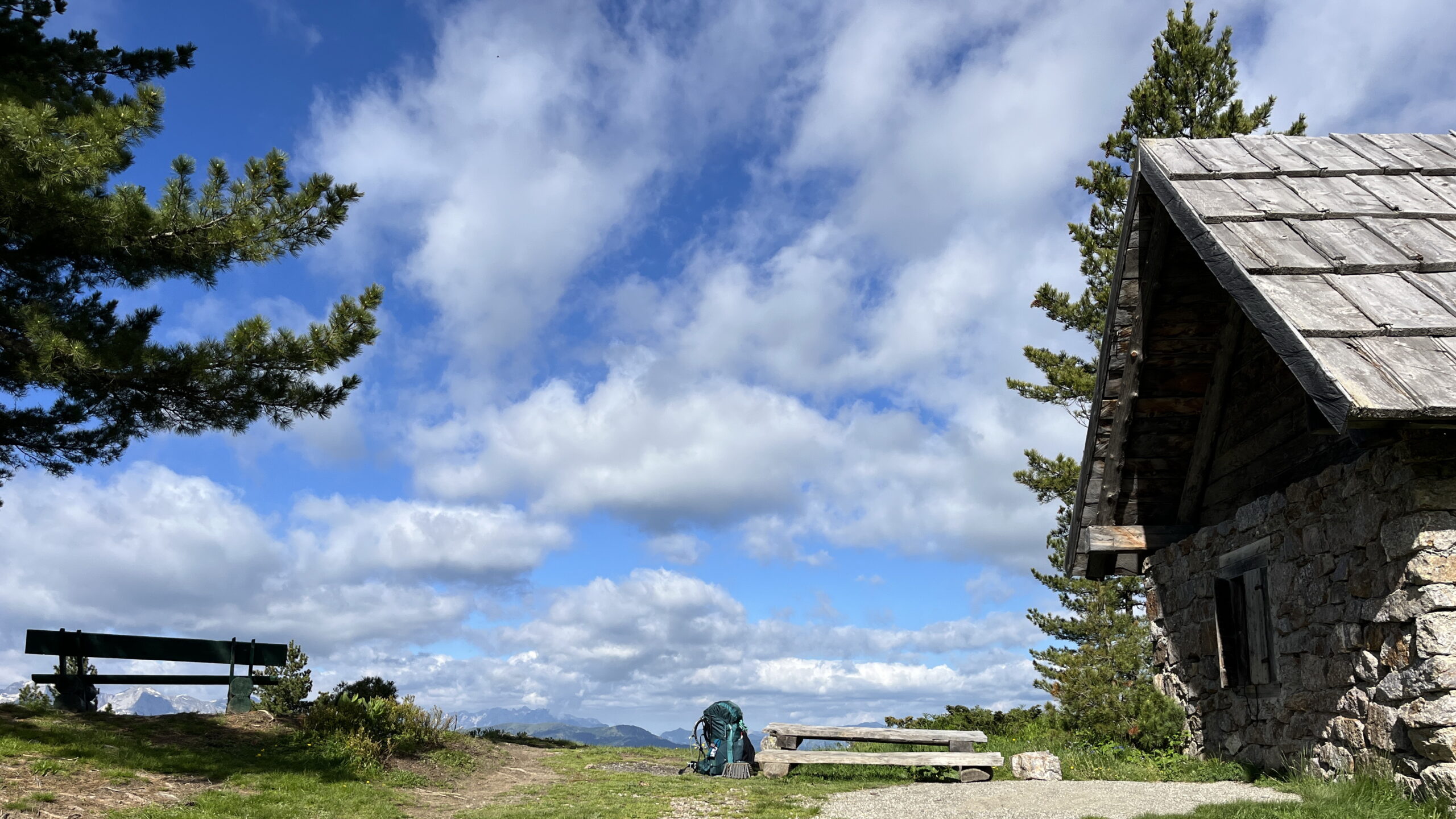
It was an overcasted morning and just as I finished packing the tent, it started to rain. Vranica Pass is the boarder, so once again I crossed into Montenego. After 2 hours of walking in the rain, I got to Aljuci Pass (1916 mas), where I crossed back into Albania. There was a small shelter at the pass, so I had my breakfast of almonds and dried cranberries here.
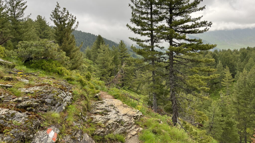
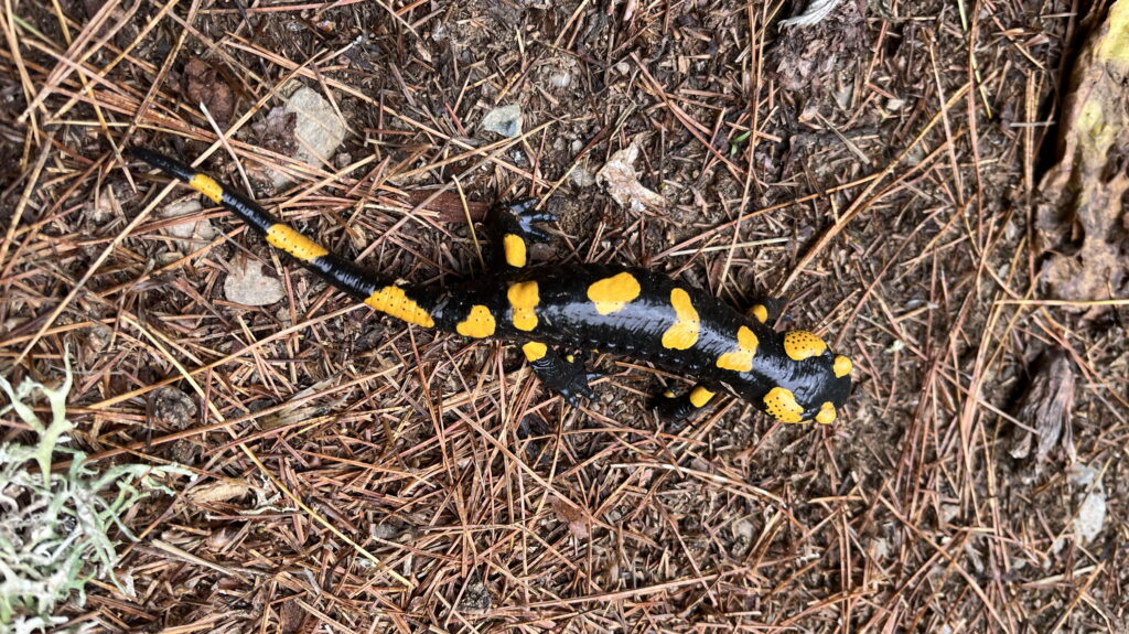
I continued down towards Doberdol still haven’t seen a single person. It felt like I had the mountains to myself. The forest on this stretch was more remote with almost no villages and it’s a UNESCO protected area due to the rich biodiversity. Bears and wolfs lives in the area. I saw several fire salamanders, squirrels, deers, butterflies in all colors and lots of birds, but neither bears nor wolves. I listened to the birdsong and the summing insects and enjoyed the trail. I felt such gratitude.
I reached Doberdol at midday and decided to have lunch at a guesthouse to get shelter from the rain. I got a huge lunch with petulla (deep fried dough), salat, bread, cheese and marmalade. There was food for at least 3 people, and I was stuffed.
The wind picked up and showers were still coming, but it was too early to stop for the day. So, I started the ascend to Tromeda peak in 2366 – the triple boarder point between Albania, Kosovo and Montenegro. The top was free from clouds when I started out from Doberdol, but it soon got covered in clouds.
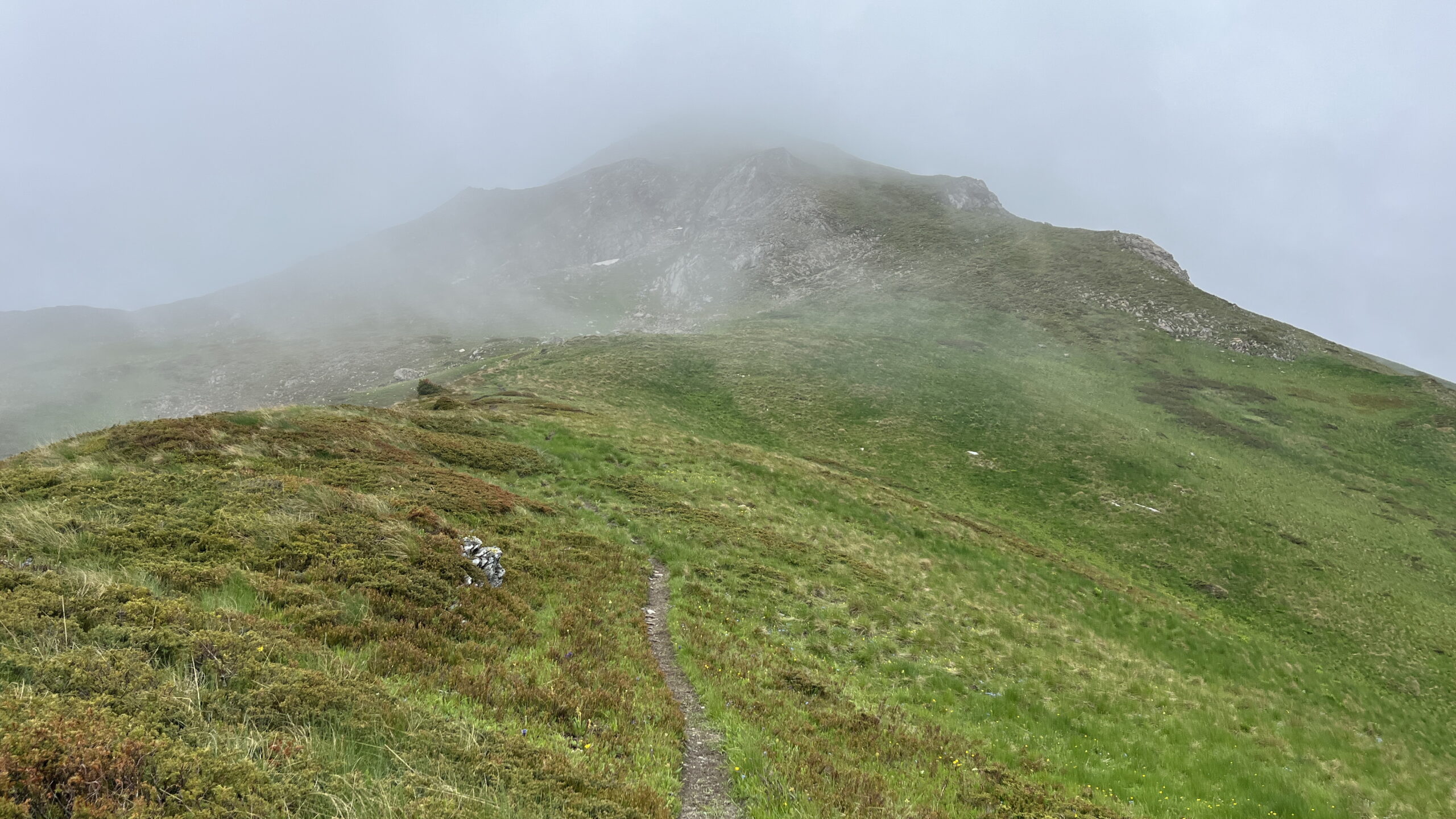
At the ridge the wind was very strong and the rain cover on my backpack blew off – luckily it was attached to the backpack, so I didn’t lose it. I needed to hold tight to my hiking sticks and be careful not to blow over. I really wanted to get to the triple boarder point, so I continued to the top. The visibility was only 10-20 meters, and the path was difficult to see, so I used the map on my phone to navigate to the top. I reached the top and quickly descended to the border ridge between Kosovo and Montenegro.
I walked on the ridge until Bogiqe Pass (2100 mas), where I found the perfect spot for the tent in a little depression with a spring nearby. The tent was sheltered from the strong winds and for the first night I had water at the campsite.
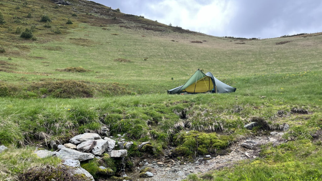
I sat in the opening of the tent all evening and enjoyed the view of the shifting clouds and the mountains. I was once again filled with gratitude. I appreciated that my body has been able to carry me, that my knee and back were ok despite a runner’s knee and a discus prolapse. Gone were all stress and I felt the inner pease that I had been longing for the past couple of years. Nature was healing me.
Day 4 – Bogiqes Pass to Lumbardhit lake
22 km, 1100 m ascend and 9 ½ hours.
I woke up with the sun and got to sleep when it got dark. I usually stayed in my sleeping bag until 6, got up and packed camp. In the morning I usually wasen’t hungry, so I often walked until 9 before I stoped to have breakfast.
Due to my discus prolapse I took a break every hour and did my back exercises. In this way I felt almost no pain while hiking.
It was an overcast morning – but luckily no rain. The wind is still blowing, but not as strong as yesterday. Shortly after I started hiking, I met 3 Montenegrins. They were very surprised to see me this high in the mountains at 7 am. It’s Saturday, so they are hiking to one of the peaks, while I’ll hike on the ridge forming the border between Montenegro and Kosovo. They didn’t speak English, so it was a short conversation before we headed of in different directions. The past two days I only met people around 11-13 o’clock that were hiking the Peaks of the Balkan route the opposite way.
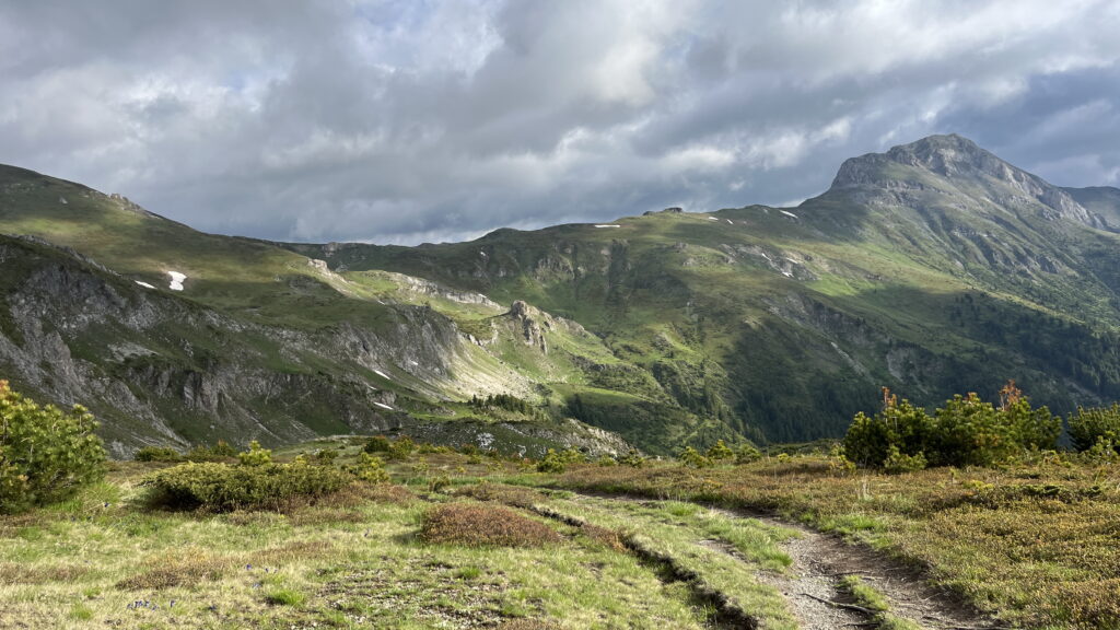
On the ridge there were beautiful views down the valley on both sides and to the peaks. It was a cold day around 5 degrees celsius here in app. 2100 mas.
I left the ridge to descend to the village of Milishevc in Kosovo. Just before starting, I got a migraine. After resting, I continued, mindful not to make mistakes.
After about an hour, I reached the village of Roshkodol, where the trail markings ended at a guesthouse. Realizing I hadn’t checked the map, I discovered I was 200 vertical meters below the correct path. Frustrated but attributing it to the migraine, I accepted the detour. It took another hour to climb back and rejoin the trail before continuing to Milishevc. No harm done!
In Milischevc I stopped at a guesthouse to have a coca cola, as this often help on my migraine. I took a power nap and after an hour’s rest, I was ready to continue. I forgot to fill up with water before I left. I usually fill up with water sometime after lunch as water can sometime be far apart.
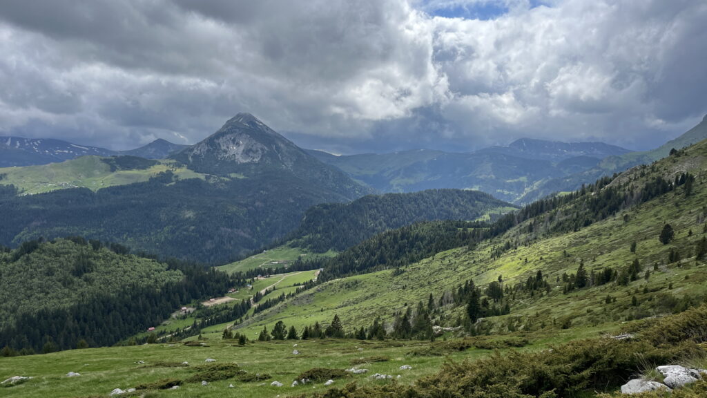
It was a steep climb from Milishevc and I felt very tired because of the migraine and 4 days of hard hiking. Once I got up it was only a short hike to Lumbardhit lake, where I set up camp.
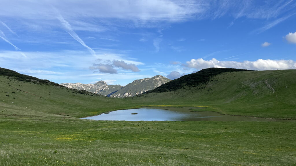
Due to a low snowy year the lake was very shallow and didn’t look appealing to drink. But I had to use water from the lake since I didn’t fill up in Milishevc and there were no spings on the way. It turned out that there were an underground spring in the northern end of the lake, where it was deep enough to fill my water bag. I filtered the water and boiled it – just to be sure.
Day 5 – Lumbardhit lake to Drelaj
23 km, 880 m ascend and 9 ½ hours.
I woke up in silence with no signs of rain despite the heavy cloud cover. I immediately got up and packed down camp. After only 10 min of walking the rain started to pour down and it continued for the next 4 hours. I got totally soaked all the way to my underwear.
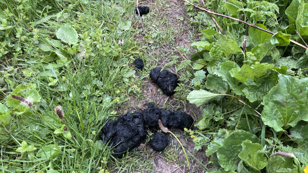
The first part from the lake to Rugova valley floor was in beautiful open landscape. But soon it became a dense forest, where branches from trees and bushes were blocking the path crawl forcing me to crawl under, over and around. Suddenly, I saw a bear poo right on the trail, it was black and quite large. It looked fresh and I looked around but couldn’t see any bear. One part of me really wanted to see the bear, while the other part was relieved that the bear was not around.
I continued down the trail that soon turned into ruts. Due to the rain and the steepness, it was like walking on a slider and at one point I lost the balance and tipped over. I got completely covered in mud.
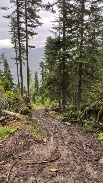
After 2 ½ hours I hit a gravel road and was very happy to finally leave the mud. When I reached the valley floor the rain stopped and 15 min later the sky was blue. I stopped by the river to wash the mud and dry myself and my belongings. I spend an entire hour turning things around to dry everything up.
I had descended 1000 m and now I had an ascend of 800 m. From Rugova Valley the trail continued on the tared road up to the village Rekë e Allagës and from here it turned into a single trail again. I continued all the way up to Qafa e Hjles Pass, where I had a late lunch. The pass marked the halfway point of PoB. Wow, it felt good! I had managed to walk halfway with my discus prolapse and runner’s knee. If I could do this, I knew I was also able to finish the entire hike.
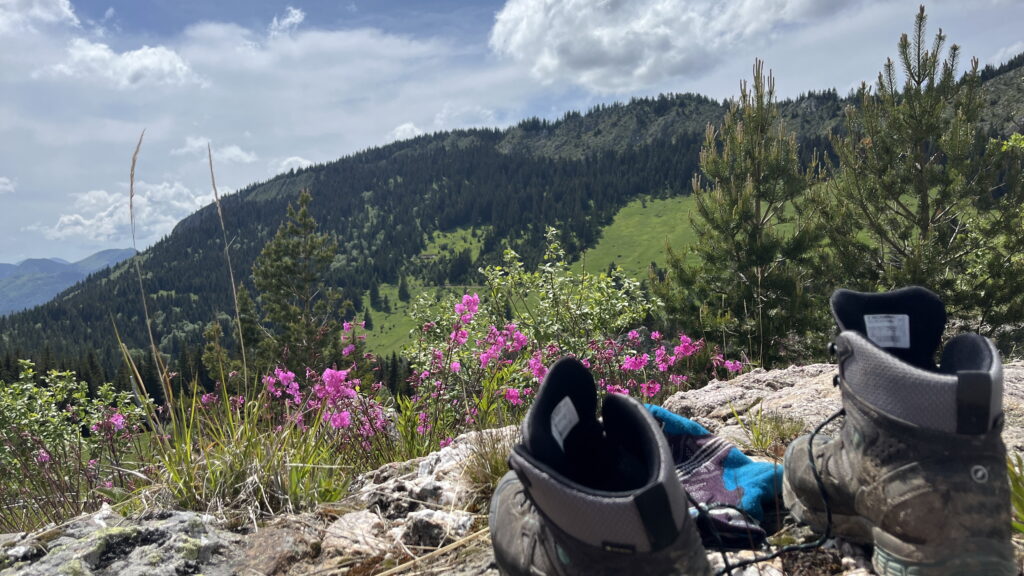
From Qafa e Hjles Pass I started the descend to Drelaj (700 m descend). First on gravel road and soon it turned into tared road again. I reached Shquiponja Guesthouse at 17 after 23 km. I had decided to spend the 5th night in a guesthouse in order to get a shower and recharge my power bank and phone, that I was using a lot for navigation. It was absolutely fantastic to get a shower and I spoiled myself with a coke and a piece of cake.
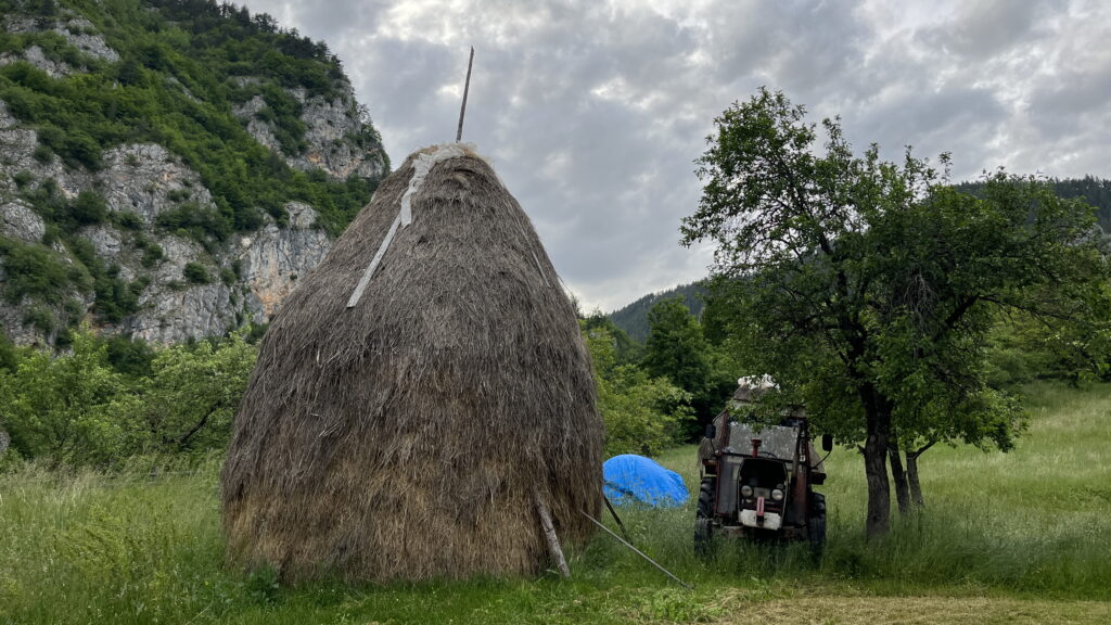
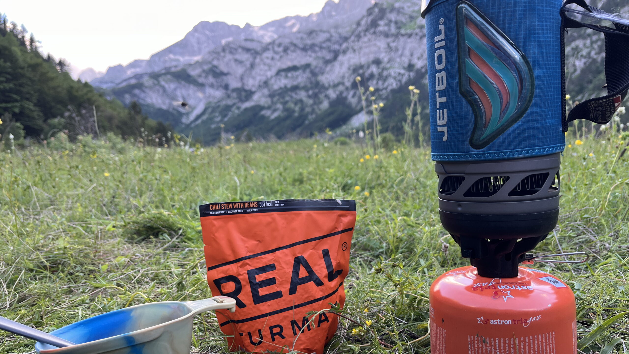
I had dinner at the guesthouse and it was great to get something else that the freeze dried food. I always appreciate vegetables, but even more, when living on dried food for several days.
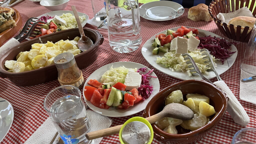
Day 6 – Drelaj to Hridsko Lake
13 km transfer, 22 km hiking, 1490 m ascend and 9 ½ hours
I had a lot of pain during the night in my legs and back. I considered if my body was able to continue or if it was time to stop. All other days the pain had disappeared once I started hiking, so I decided that I would try and that I would make this day a short one.
I had breakfast at the guesthouse and asked if they could drive me to the end of the tared road. I was tired of hiking on the tared road and if I didn’t take a transfer I would have 13 km on asphalt, so together with my pain it seemed right.
I was set off at Restaurant Te Liqeni at 8.30 and started the accent to Jelenkut Pass (2424 m). After app. 1 hour of steep uphill, I came to the first lake Liqeni i Kucishtes. It looked so refreshing, so I decided to take a swim. It was freezingly cold, and I could see leeches in the water, so it was a quick swim.
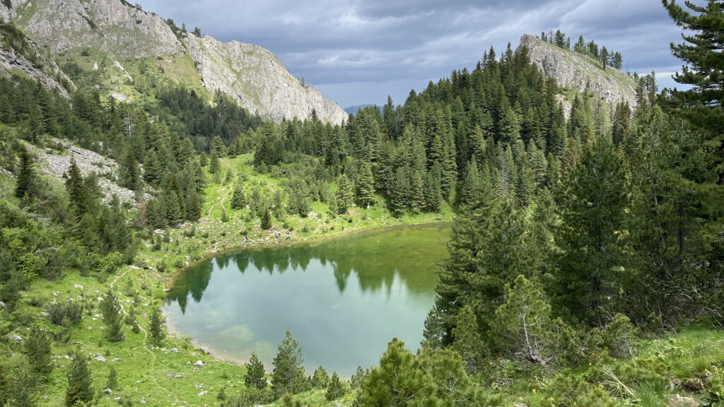
There were 2 marked routes to the next lake. To Dutch hikers had passed me, while I was swimming, so I assumed they knew the way and I continued the same was as them. It was a big mistake – always look at the map! The marked path ended at the next pass, and I could see the second lake below. I decided to make a bushwalking down the steep slope and found the right path again, but it costed almost an hour.
Back on track it was an easy walk up to Jelenka Pass in 2272 mas. Once again I crossed the border to Montenegro. It became more and more windy as I got closer to the pass. In the pass itself the wind was so strong that I could lean against it without falling over.
From the pass the path followed the ridge between Kosovo and Montenegro. I had lunch on the ridge on a spot with less wind. I rejoined the path that I was walking on day 5 until Zavoj pass, where I started to descend to Babino Polje in Montenegro.
I had promised myself a short day. But the pain was gone, and I was feeling good and strong. I like to push myself to the boundary and I had an inner battle. Everybody I knew would have told me to take a short day – it was the most reasonable, but I would rather spend the night at Hridsko Lake than Babino Polje, which would mean another 7-8 km and not a short day. My desire to sleep at the lake won, but I would try to make a shortcut by walking up through Bivoljak forest instead of taking the longer trail through Babino Polje.
I had met a Canadian lady, which decided to follow me. She made it clear that she did not want to bushwalk, and I told her, that it would become very likely as I had experienced it several times even on the trail. The beginning was a gravel road, but it soon turned into a small path that disappeared into nothing. She turned around, but I continued up using the gps signal to stick to the path shown on the map – but wasn’t there in reality. It would probably have been faster just to follow the path, but it was also a test for me. I was actually one day ahead of my plan and I was starting to consider if I could alter the last part of the route.
I scrambled my way up and in a clearing I meet a wild boar – it probably got just as surprised as I did and it ran away faster than I was able to get a picture of it.
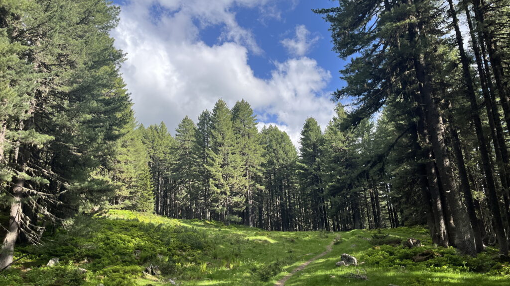
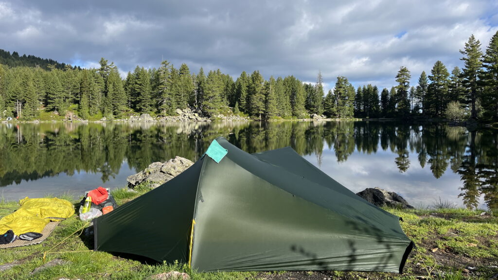
I reached the lake around 6 pm. It was very windy at the lake and there were boulders on the shores. I found a little flat spot for the tent to pitch. An extraordinary, beautiful place. Because of the wind I decided to look further away to see if I could find shelter for the wind. It took me to a clearing where I believe I saw a wolf between the trees. This once again showed me how remote these mountains are. Never have I come across a wolf in the wilderness. I was grateful for the experience, but I didn’t find the shelter I was looking for. Every night the wild had calmed down when the sun set, so I hoped this would also be the case today. And it was, so I enjoyed the evening at the mirror-like lake.
Day 7 – Hridsko lake to Maja e Borit Peak
25 km, 1010 m ascend and 9 hours.
It was a beautiful morning at the lake with mirror-like water. I had a morning swim and just enjoyed the morning by the lake. At 8 I was ready to continue down to the city Plav, where I had to stock up on food for the remaining trip.
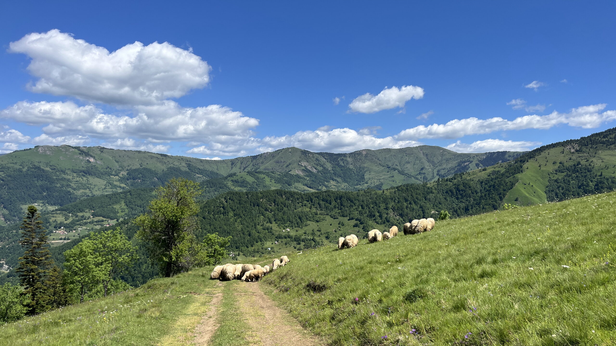
The trail soon turned into gravel roads, but it was very idyllic with the small farmhouses, sheep and cattle. The forest was spring green, and the rivers were full of water. Many people skip this section of Peaks of the Balkans because of the gravel roads. But I enjoyed it and found it pretty as well.
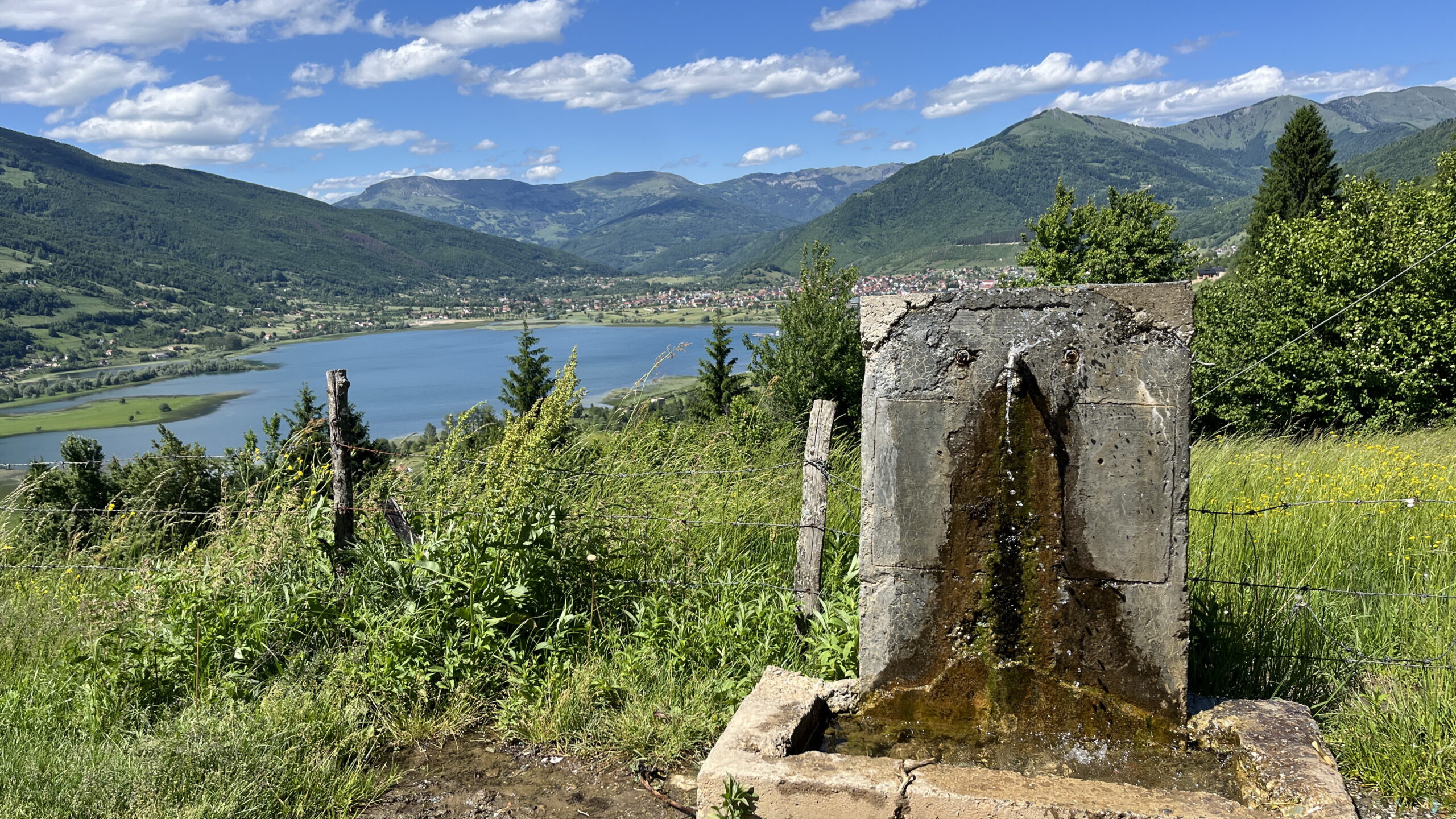
I reached Plav at midday, stocked up on food and enjoyed lunch at a cafe before I continued out of Plav.
I had planned to hike 5 km out of Plav, but the mountainsides were steep with no suitable place for my tent. I ended up hiking almost 12 km from Plav, which made this the longest day in kilometers on the hike.
I found a beautiful meadow for my tent 200 m below Maja e Borit peak and pitch my tent, while fighting the mosquitos.
Day 8 – Maja e Borit Peak to Ropojan lake
19 km, 650 m ascend and 9 ½ hours
This was one of the most beautiful stages of the Peaks of the Balkans trail. I started the day with a 200 m steep climb to Maja e Borit and from here there was a fantastic view of the Karanfill massive as well as the border ridge I had walked earlier on the trip.
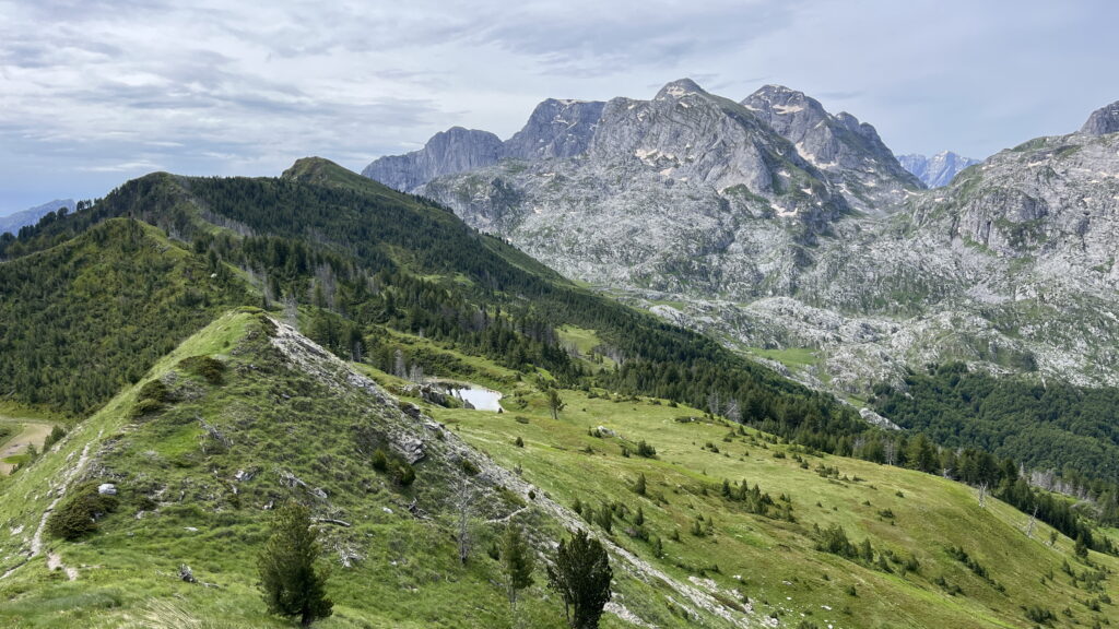
I descended to Valbona Valley and with temperatures in the end 20ies I had a swim in the ice-cold river at lunch break.
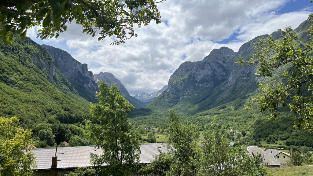
From here it was a slow ascend towards Ropojan Lake. I took the path on the right side of the river as it was marked as the Peak of the Balkans trail. However, the trail soon vanished, and I found myself bush walking once again.
I set up camp close to the dried up Ropojan Lake and enjoyed the solitude for the last night. The scenery was stunning, and I didn’t feel ready to end my trip.
Day 9 – Ropojan lake to Theth
16 km, 600 m ascend and 7 ½ hours
The last day of my trip. I packed down camp slowly to truly enjoy every moment. I felt sad that it was my last morning in the mountains. In my heart I just wanted to continue hiking.
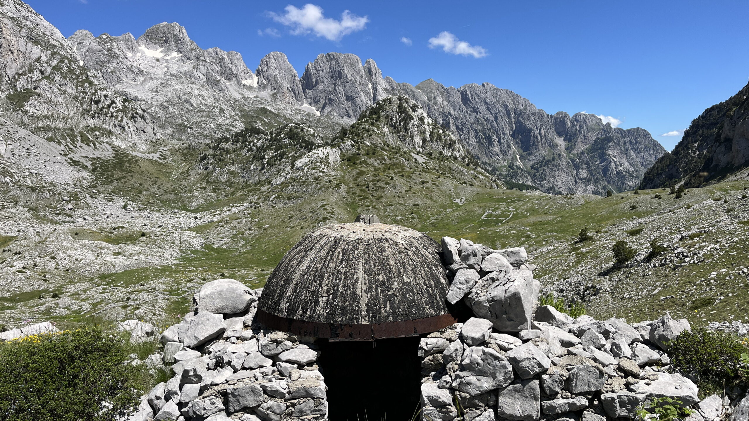
It was probably the most beautiful stage of the Peaks of the Balkans and also the shortest. I walked in the valley with granite mountain walls to both sides. I entered Albania for the last time on the hike and deep in the mountains I saw lots of ruined bunkers.
Old bunkers deep in the mountains
At midday I reached the Pejës lakes. They were not for swimming, but beautifully placed before the last ascend to Pejës Pass in 1720 mas. I was alone and the weather was great, so I changed into my biking while having lunch. After only 5 min people suddenly appeared from both the front and back and it felt stupid to be sunbathing. It was a gentle reminder of the proximity to civilization.
After a very steep descent from Pejës pass I reached the valley floor and it was an easy stroll back to Theth, where I arrived at 4 pm.
The hike was over. I felt gratitude for every single moment on the trip, for my body to carry me, for my family to support me, for T being cured for ME and for everything in between.
The hike was over. I felt gratitude for every single moment on the trip, for my body to carry me, for my family to support me, for T being cured for ME and for everything in between.
I embarked on the hike to heal myself from stress. At the end I knew I had reached my goal. I was filled with inner peace and once again felt strong. I was ready to start the next chapter of my life.



Hello i am a woman solo traveller and I would like to do this hiking but I dont know if it is dangerous because you can not find any people in the path. What do you think?
By the way how did you ask for the permission to cross the borders?
how did you book the refugees?
thanks
Hello,
If you are a skilled hiker it is not dangerous to do the hike alone. The permission for border crossing are easily done via a travel agency. I used Zbulo https://www.zbulo.org/services/border-crossing-permits-peaks-of-the-balkans-via-dinarica/
The refugees can also be booked through Zbulo.
Best,
Helle